
Features of hippomaps
hippomaps is a free map for the web and Android, made with OpenStreetMap data. You type a sentence such as “cafés in Zurich by the Limmat”, and the map shows the places it finds.
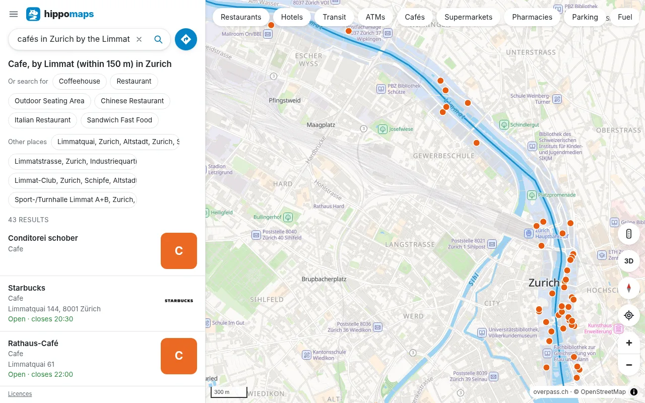
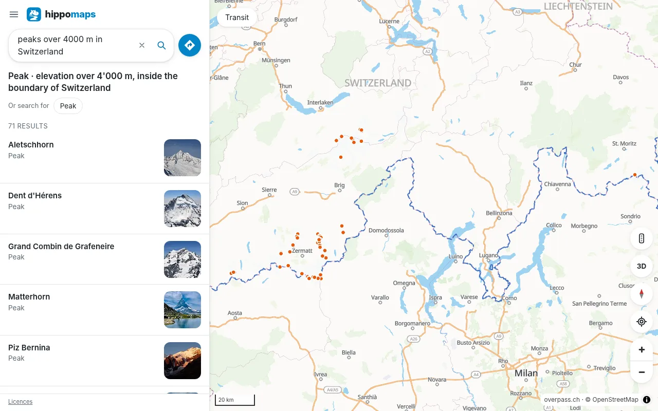 Search in plain wordsSentences such as “peaks over 4000 m in Valais” or “bakeries open on Sunday in Zurich”, in 16 languages.
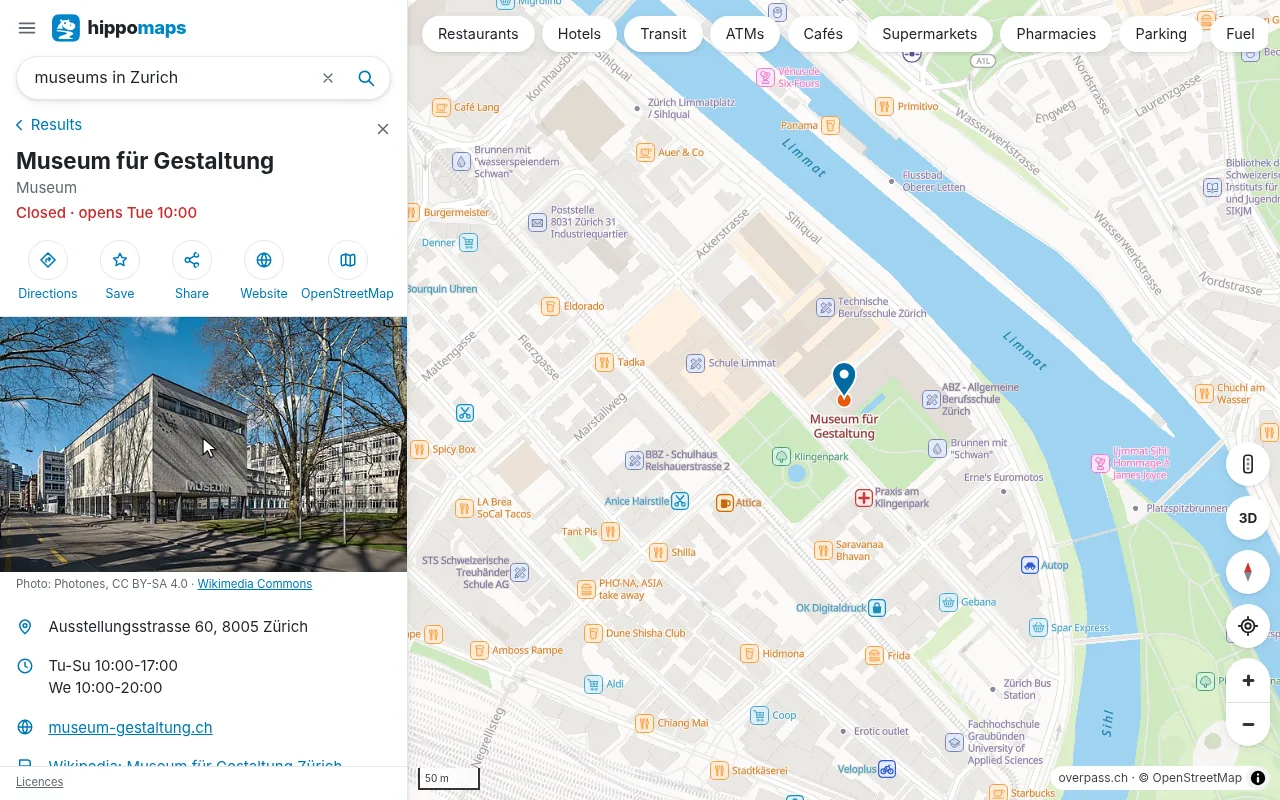 Place pagesThe photo, opening hours, website, phone and wheelchair access of a place, and the menu of a restaurant.
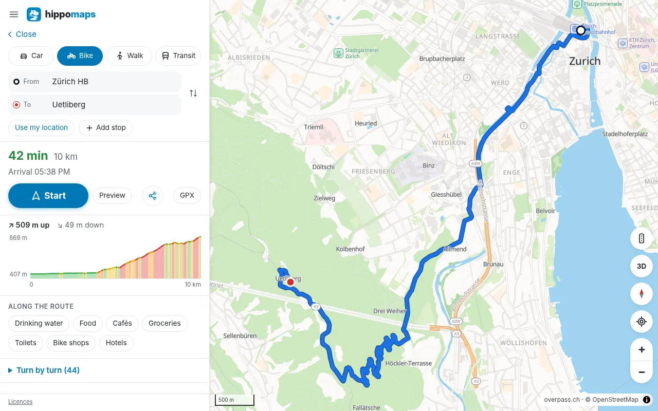 DirectionsBy car, bike and on foot, with stops, other routes, live traffic in Switzerland, the Netherlands and France and a height profile.
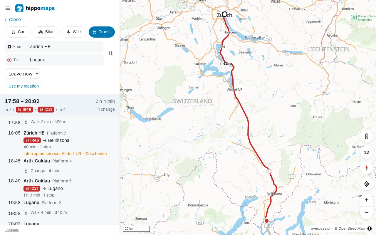 Public transportTrains, trams, buses, boats and cable cars across Europe, with platforms, walks to the stops and delays.
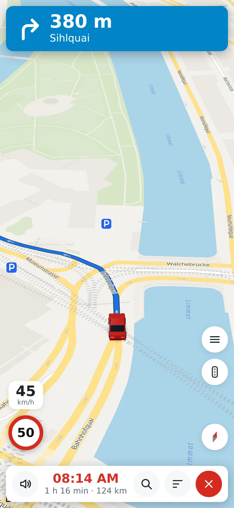 Spoken navigationTurn by turn in 18 languages, with lanes and speed limits. The map along the route is kept on the phone for valleys and tunnels.
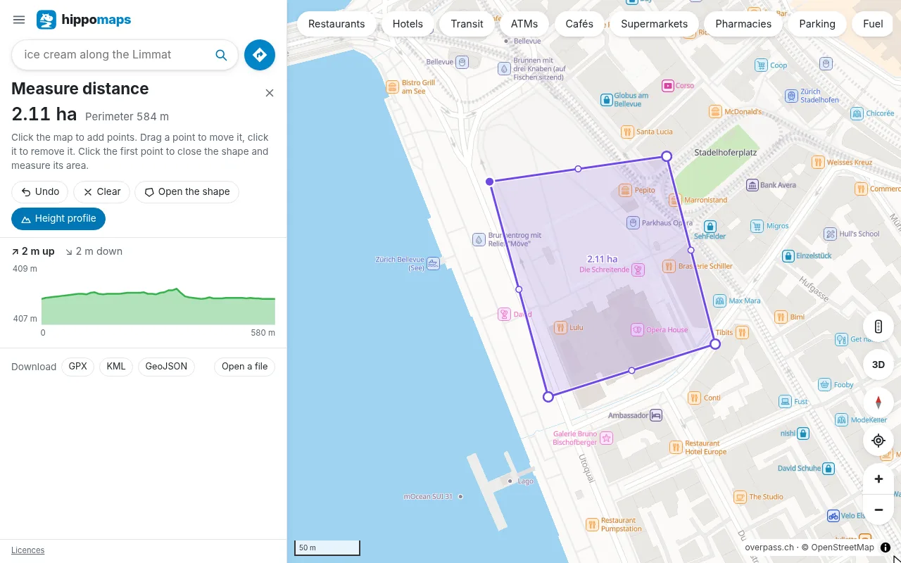 Measure and GPS filesDistances, areas and height profiles; routes, lines and places as GPX, KML or GeoJSON.
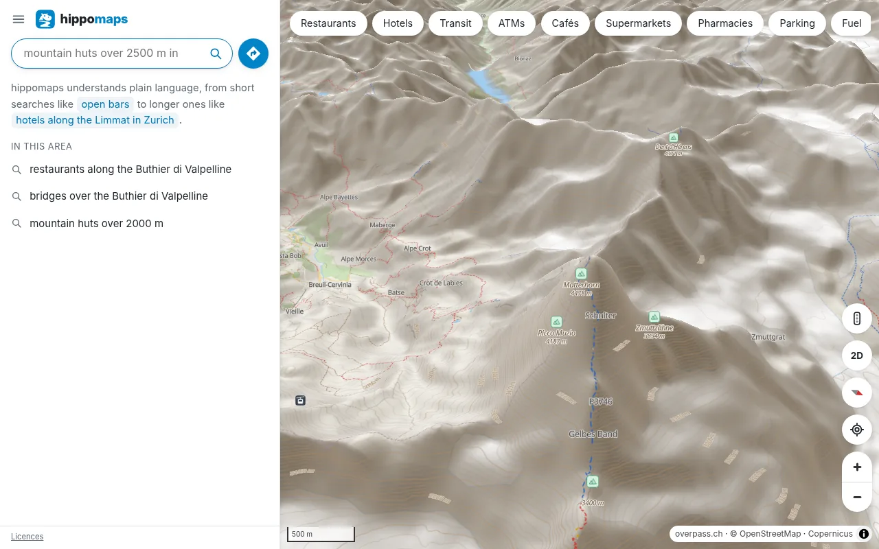 The mapDay and night styles, 3D terrain and buildings, transit lines, traffic in Switzerland, the Netherlands and France and the compass of the phone.
Account and privacy
hippomaps is free to use, without an account and without advertising. Settings, starred places and recent searches are kept in your browser. The source code is free software under the GPL, on GitLab and GitHub. Maps, search and heights come from overpass.ch, which hosts the services in Switzerland.
On a phone
hippomaps.ch runs in the browser of a phone. The app for Android also navigates with the screen locked and opens links to places from other map apps. It is on the releases page of the project.
The guides show common tasks step by step.