
Directions by car, bike and on foot
Tap the blue arrow beside the search box, choose a start and a destination, and pick how you travel.
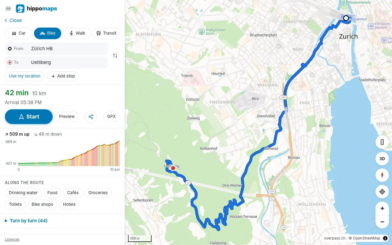
Start, stops and destination
The start is your location unless you choose another. Type an address or a place, pick a place on the map, or use a result of a search. Add up to 8 stops on the way; a button swaps start and destination. A right click on the map (a long press on a phone) sets the point under it as the start or the destination.
What the route shows
- the time and distance, and each turn with the name of the street
- by car, the lanes to take at a junction, the signs of motorway exits, and the speed limits
- by car, stop signs, speed bumps and, where a navigation app may show them, speed cameras
- by bike and on foot, a height profile with the climb and descent; move along it to see the point on the map
- a warning when the route takes a ferry or a car train
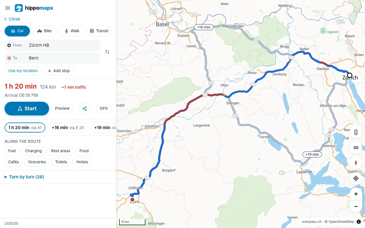
Other routes
When a route goes straight from the start to the destination, hippomaps offers up to two other routes. The map shows each with the minutes it adds. Tap one to take it.
Live traffic
In Switzerland, the Netherlands and France the time of a route by car counts the closures, queues and speeds that the road authorities report (in France on the national roads without tolls). Turn on Traffic in the menu to see them on the map.
Places along the route
Under the route, Along the route finds fuel, charging stations, rest areas, food, cafés, groceries, toilets, drinking water, hotels, bike shops and pharmacies near it, with how far each is from the start and how far off the route.
Share, save and navigate
Share a route as a link: it opens with the same start, stops and destination. Save it as a GPX track with its heights for a bike computer or a watch (how). Or tap Start for spoken navigation.
For trains, trams and buses, choose public transport as the way to travel.
Routes are calculated by Valhalla on OpenStreetMap data of the whole world, updated every week.