
Put a route on a GPS device
Bike computers, watches and outdoor apps read routes from GPX files. hippomaps saves routes, drawn lines and search results as GPX, and opens GPX files.
A route
- Plan the route in directions: by bike or on foot to get the heights in the file (bike route guide).
- Tap GPX under the route. The file is saved in the downloads of your browser.
- Copy it to the device or import it in its app (below).
A line you drew
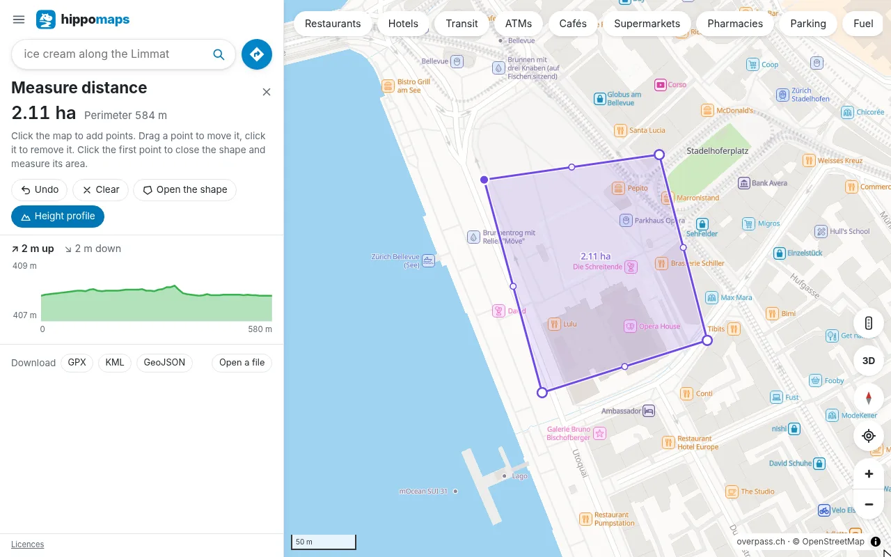
- Open Measure distance from the menu, or right-click the map and choose it.
- Click points along the way you want. Drag the dot in the middle of a part to bend it.
- Save it as GPX, with the heights of each point. KML (for Google Earth) and GeoJSON are next to it.
Places of a search
Under the results of a search, GPX saves them as waypoints with their names, such as all the mountain huts in Graubünden or drinking water in Zurich. CSV and GeoJSON are next to it.
On the device
- Garmin: import the file in Garmin Connect (Courses, Import), or copy it to the folder
Garmin/NewFilesof a device connected by USB. - Wahoo, Hammerhead, Komoot, Strava and most outdoor apps import GPX from their route or course page.
- On a phone, open the file from the downloads and choose the app.
Open a GPX file
To see a track someone sent you, open Measure distance, tap Open a file and choose a GPX, KML or GeoJSON file. On a computer you can also drop the file on the map. The track appears with its length and height profile, and you can change it and save it again.
Files are saved and opened in the browser. On Android, use hippomaps.ch in the browser of the phone for them.