
Public transport in Europe
Choose the train as the way to travel in directions, and hippomaps finds connections by train, tram, metro, bus, boat and cable car, with the walks to and from the stops.
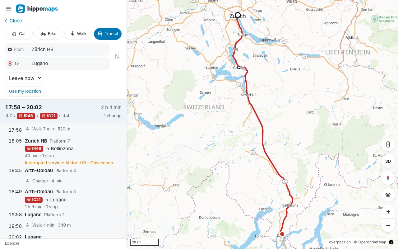
A connection
- leave now, or set a time to leave or to arrive
- each leg with its line, the direction, the stop where it starts and ends, the platform, and the number of stops
- the walks to the first stop and from the last, along the streets
- the line drawn on the map in its colour
- later and earlier connections
Delays
Where an operator publishes them, the times include delays, and messages about disruptions appear with the connection. In Switzerland this covers the trains, trams and buses of opentransportdata.swiss.
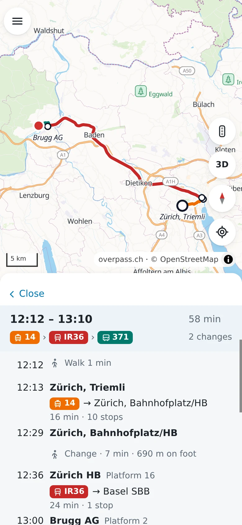
Where
hippomaps has the timetables of 43 regions of Europe, as operators and authorities publish them. Transitous collects them, and hippomaps loads them again every night. The licences page lists the sources.
Transit in the menu draws the metro, light rail and tram lines on the map in their colours.
Steps to plan a trip are in the guide Find a train connection.
Journeys are found by MOTIS.