The map
A vector map of the world from OpenStreetMap. By day it has the colours of Swiss topographic maps.
Styles
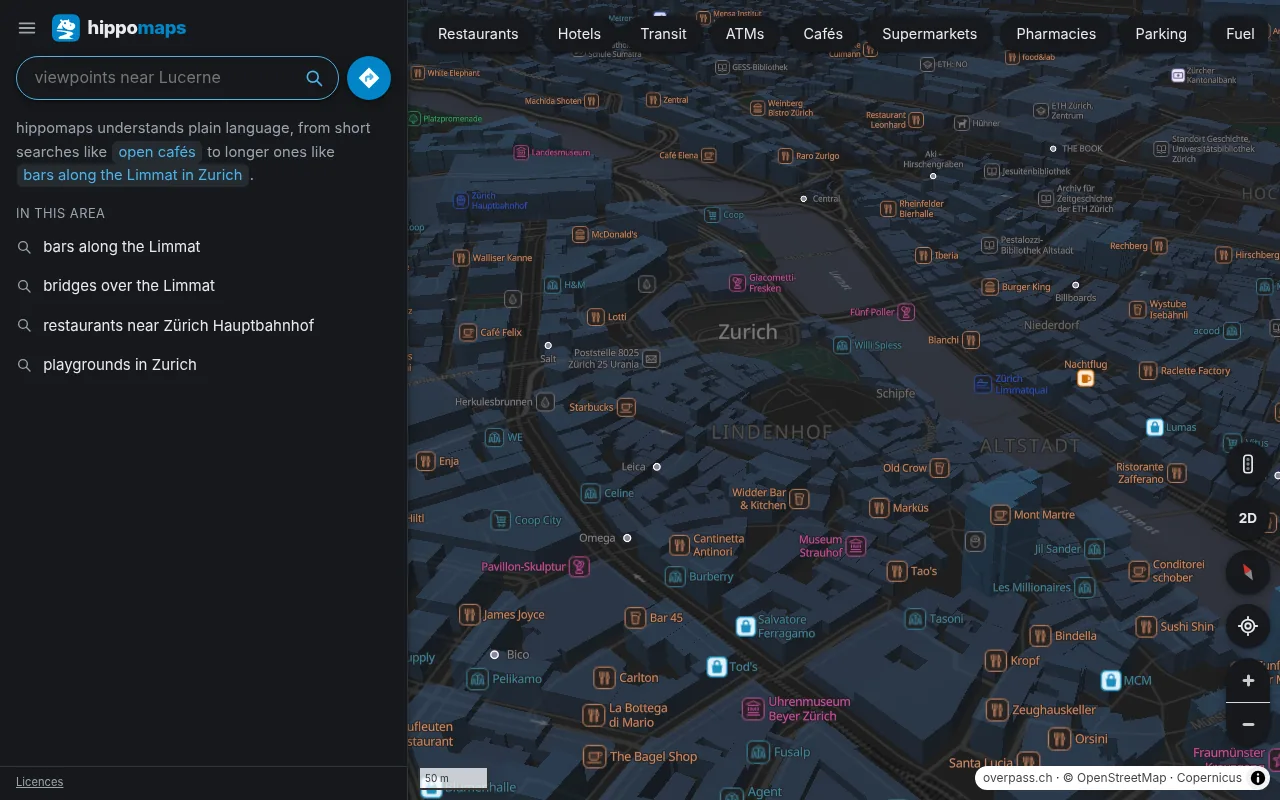
The menu has six styles: Day and night, Light, Dark, Outdoor, Relief and Driving. Day and night switches from the light map to the dark one at sunset where you are.
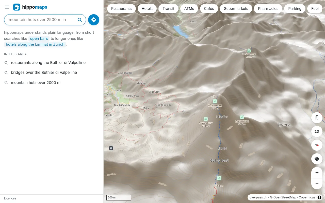
3D
The 3D button on the map tilts it and raises the terrain. 3D buildings and relief shading are switches in the menu. Turn the map with two fingers, or with the right mouse button.
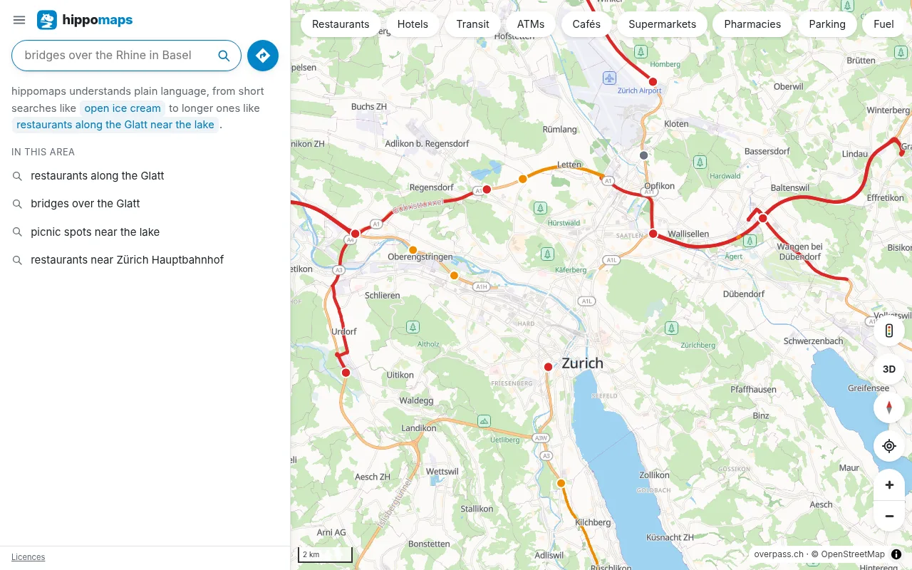
Traffic
In Switzerland, the Netherlands and France, Traffic in the menu shows closures, queues, roadworks and slow roads that the road authorities report. Routes by car count them.
Transit lines
Transit in the menu draws the metro, light rail and tram lines of a city in their colours.
Compass
On a phone, a cone at your location shows where the phone points. Tap the location button again and the map turns with the phone. In Safari on an iPhone or iPad, the page asks once for the compass.
Languages
The page and the names on the map are in English, German, French or Italian, chosen under Language in the menu.